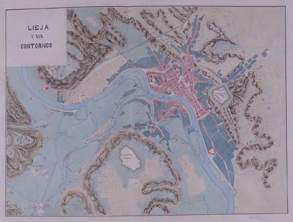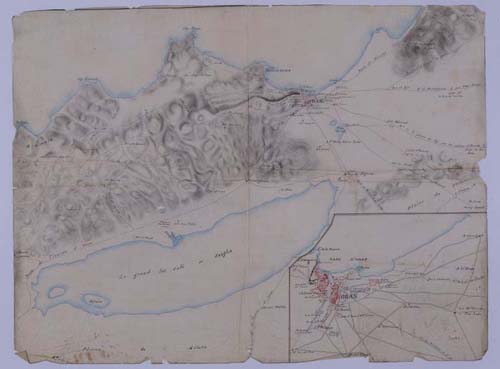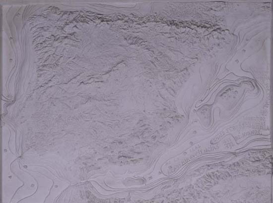
The result of the 125 years of life of the Real Sociedad Geográfica is the outstanding specialised library with more than 11000 books, 12700 booklets and 110 journals, both Spanish and foreign. We have to add a Map Collection with several thousands of maps starting in mid-18th century – the only copy of the Map of Spain drawn by the Jesuits Carlos Martínez y Claudio de la Vega (1743) – and with a large number of maps of the 19th and early-20th centuries. This large bibliographic and mapping collection is deposited in the Biblioteca Nacional (22, Recoletos street, 28001 Madrid), and it is updated and available to those interested.
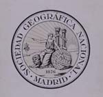
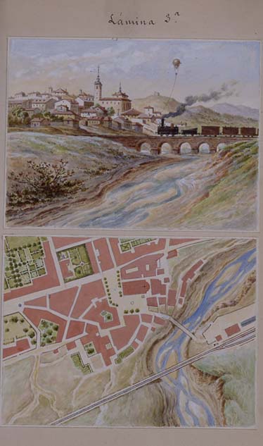
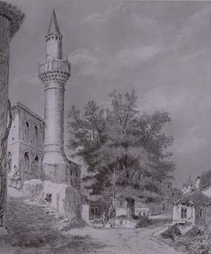
Below we present some selected documents related to our history, symbols, badges, and to some relevant people of our early years.
These documents were shown in the Exhibition of the historical funds of the Real Sociedad Geográfica that celebrated the RSG’s First Centenary and its 125 Anniversary (November 25th, 2002 – January 3rd, 2003).Exhibition Catalogue

